
Dispatch #51 - My Daughter's First Backpacking Trip, Part 1
The Warner Mountains, the edge of the Great Basin, and the ridgeline that divides two watersheds.

Several months back, my 11-year-old daughter Vivian asked if we could go on her first real backpacking trip together.
After resisting the urge to weep and then run outside and hoot and holler and howl at the moon in gratitude — DREAMS COME TRUE! — I offered a very cool and relaxed, yes.
Where do you want to go?
One of those tall mountain lakes with clear water.
I immediately had a landscape in mind.
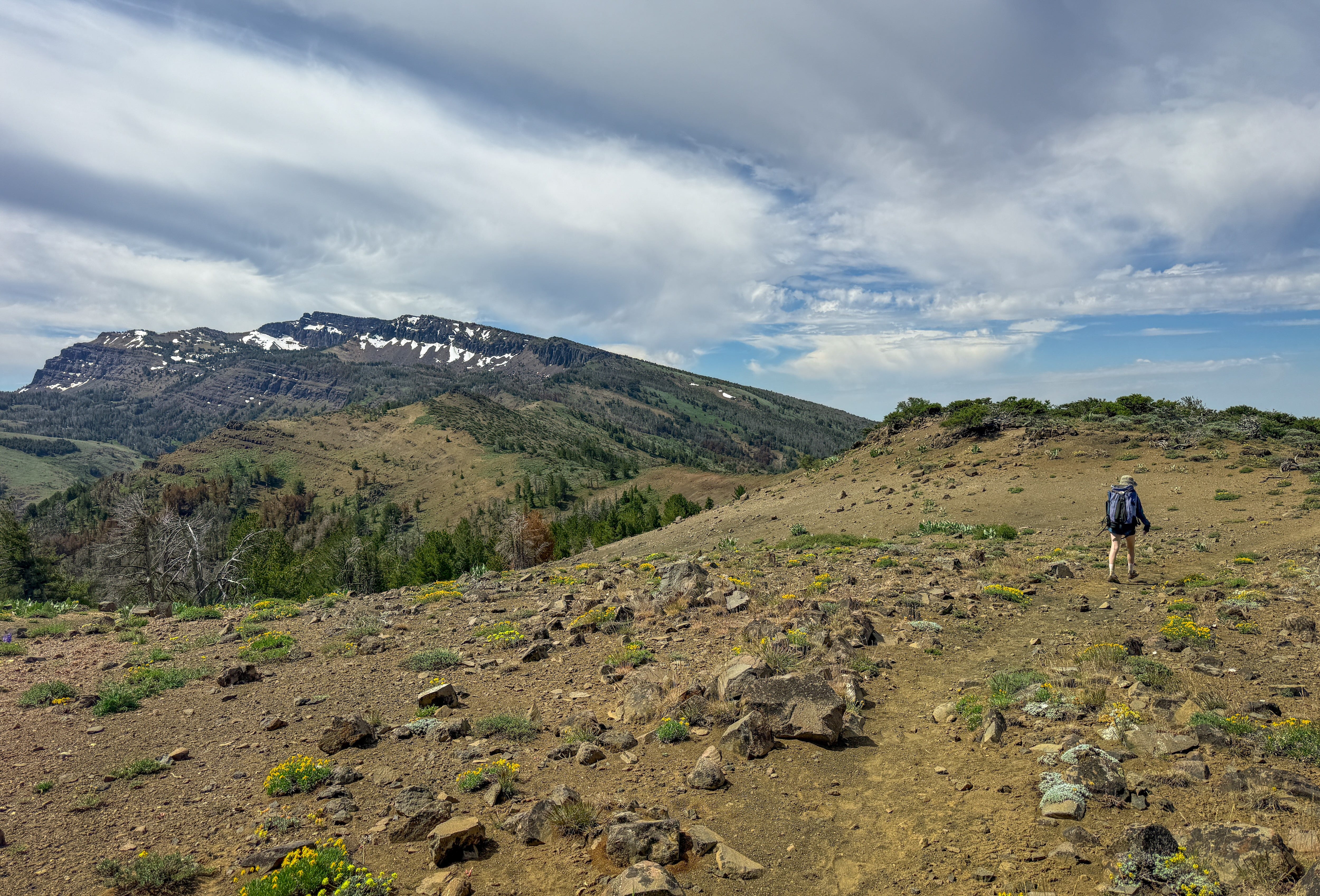
I have been circling the Warner Mountains in far northeastern California for a number of years. There was the time in late 2020 when my friend and I spent hours and hours driving up and down the eastern slope looking for some secret hot springs. There was the time in 2025 when I spent an entire day walking County Road 38 from the base of the Warner Mountains, across the Nevada state line, and into the Hays Canyon Range. But it wasn’t until this spring that my interest in the Warners turned into an obsession.
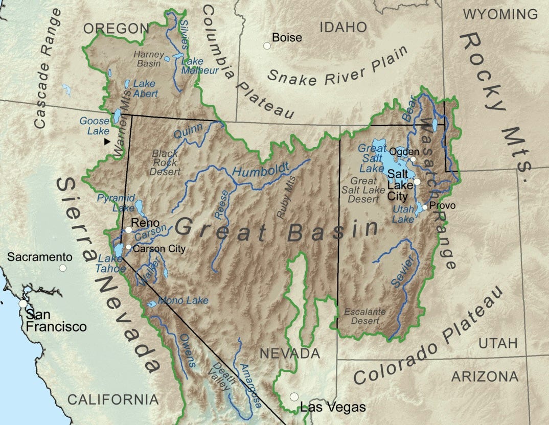
Studying this Great Basin map is what did it. See that little black arrow near the meeting of California, Nevada and Oregon? It points to the Warner Mountains, the remote 85-mile fault-block range in one of the dark sky corners of the lower 48.
What I find so utterly fascinating about this particular landscape is that it sits astride the hydrological edge of the Great Basin Desert. Throughout much of the Warners, the crest narrows into long ridges where only a few feet separate two entirely different watersheds, and the fate of almost every raindrop is determined by which side of the ridge it lands.
A raindrop falling on the western slope seeps into fractured volcanic rock and porous soils, becoming part of the groundwater system before emerging from a cold spring. From there, it might gather in Parker Creek, Pine Creek or another west-flowing stream before eventually joining the South Fork of the Pit River.
The South Fork eventually joins the main stem of the Pit River, now carrying the runoff of an entire mountain range. The river sweeps southwest across the volcanic Modoc Plateau before carving through ancient lava flows in the Pit River Canyon and emptying into Shasta Lake. It then follows the Sacramento River toward the Delta, where the water takes on its first faint trace of salt as the tides begin to reverse the current among a maze of sloughs and islands. Nearly 500 river miles after falling on the crest of the Warner Mountains, the raindrop passes beneath the red towers of the Golden Gate Bridge before the tides carry it into the open Pacific, where it joins the great circulation of the world's oceans.
A raindrop falling on the eastern slope tells a very different story.
It would gather in Owl Creek, Milk Creek, or one of the mountain's other east-flowing streams before plunging down the steep Surprise Valley fault escarpment. Barely ten miles from the crest, it would spread across the broad floor of Surprise Valley, collecting in a chain of shallow alkali lakes—an endorheic basin with no outlet to the sea.
Summer after summer, the desert sun returns the water to the atmosphere, while the dissolved salts and minerals weathered from the Warners remain behind, becoming a little more concentrated with each passing season until they form the pale alkali flats stretching across the valley floor.
When Vivian asked for a mountain lake, I returned to maps of the Warner Mountains — this time not as a researcher, but as a backpacker — and prayed to the recreation gods that somewhere among the Warners was a trail leading to exactly what she had imagined.
The answer was yes.
It is 635 miles from our home in Los Angeles to the Pepperdine Campground, where the Summit Trail begins its traverse of the South Warner Wilderness.
Getting there meant another crossing of northern Nevada — past Fernley, Pyramid Lake, and Gerlach — before reentering California. Over the past year, I'd found myself returning to this route and these landscapes again and again (Dispatches #25 and #49).
Vivian is a veteran of long road trips, so tackling the eleven-hour drive in a single day was an easy decision. We downloaded Extremely Loud & Incredibly Close, one of my favorite novels, and let its narrators carry us north across the desert.
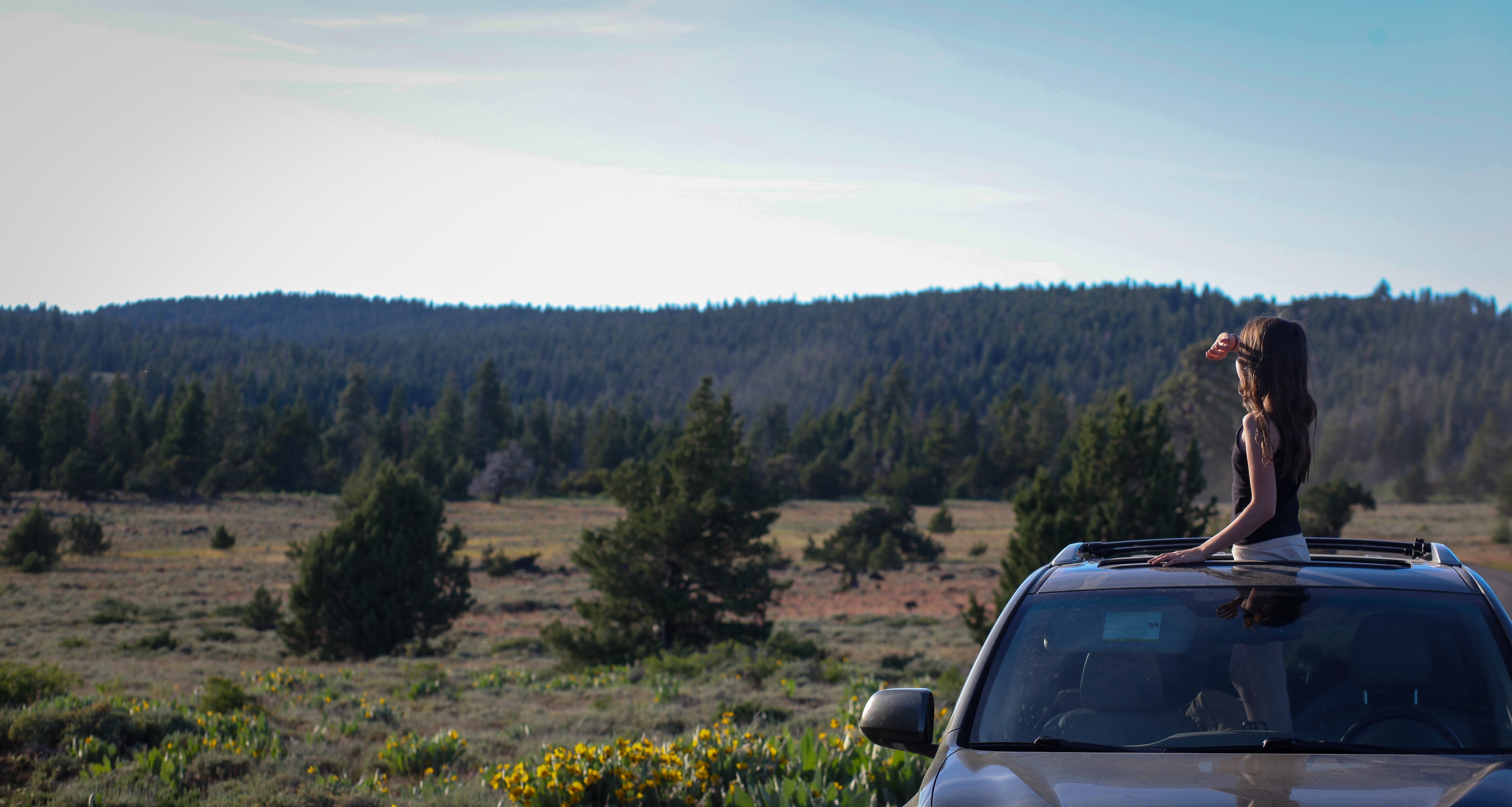
We arrived in time to watch the sun make its final descent over the stacked mountain ranges to the west. The approach to the campground followed wide gravel Forest Service roads through alpine meadows absolutely brimming with wildflowers. I slowed down and opened the sunroof so Vivian could take it all in—the cool mountain air, the scent of the pines, mule deer darting across the road, nothing between her and the landscape but the evening sky.
At 7:38 a.m. the next morning, we shouldered our packs and walked toward the trailhead. We said hello to our 71-year-old camping neighbor, Doug, as we passed his campsite. I wasn’t sure whether he was more excited about Vivian’s first backpacking trip or the wildflowers we were about to see.
“My naturalist friend counted five species of buckwheat in less than a quarter mile yesterday!” he said. “She didn’t see a single invasive species the entire hike.”
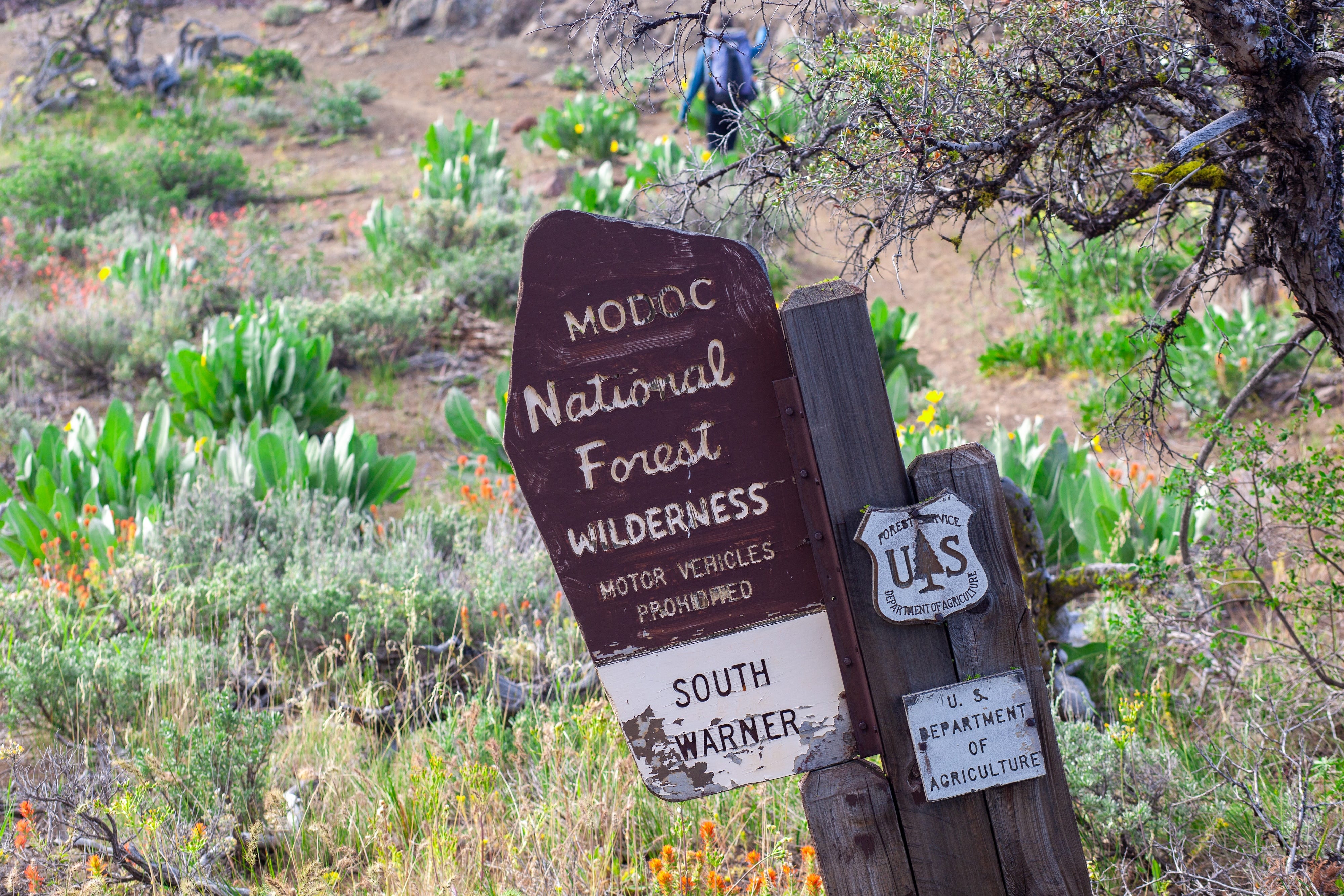
The trail to Patterson Lake climbed six miles and 2,460 vertical feet. We tightened our pack straps, fist bumped the leaning wooden Wilderness sign, and started uphill.
This one really resonated! Took my 6yo daughter on her first backpacking trip this past May. Starting them young 🤩
May this be the first of many more shared adventures in the wilderness to come! (Also, love your book.)